Hunt Club
Explore Hunt Club through sourced information on schools, parks, housing and everyday services.
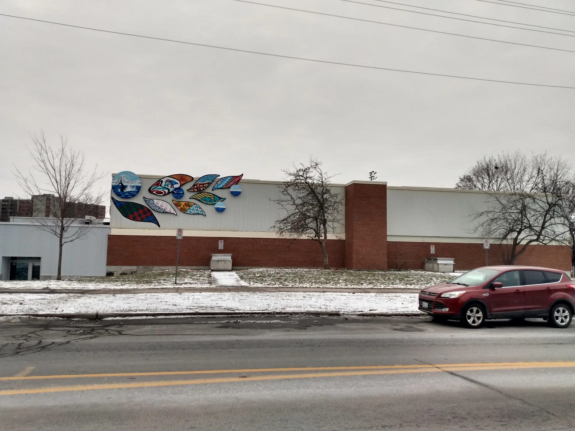
Hunt Club is a residential neighbourhood in south Ottawa, north of the airport and east of the Rideau River. Its planned suburban development dates to the 1970s. Everyday destinations include the Hunt Club–Riverside Park Community Centre on Paul Anka Drive and Metro on McCarthy Road. South Keys provides a nearby connection between O-Train Lines 2 and 4, with Line 2 continuing to Bayview. By car, downtown Ottawa (Parliament Hill) is about 12.0 km away, roughly 17 minutes in free-flowing traffic (OSRM estimate).
Updated · Facts on this page link to their sources
About Hunt Club
Hunt Club is a residential neighbourhood in south Ottawa, north of the airport and east of the Rideau River. Its planned suburban development dates to the 1970s. Everyday destinations include the Hunt Club–Riverside Park Community Centre on Paul Anka Drive and Metro on McCarthy Road. South Keys provides a nearby connection between O-Train Lines 2 and 4, with Line 2 continuing to Bayview.
Boundaries
Definitions vary. This guide follows the Hunt Club Community Association’s limits: Rideau River west, Hunt Club Road south, Airport Parkway east and the railway tracks crossing McCarthy Road north. is a separate eastern neighbourhood; nearby services are identified separately. hunt-club.ca openstreetmap.org
Homes
Hunt Club includes detached and semi-detached houses, townhouses, apartments, co-operative housing and retirement residences. The City’s 1997 planning report records substantial original subdivision development east of Riverside Drive in the late 1970s and 1980s, followed by some infill in the 1990s. hunt-club.ca
- Municipal recreation at the Hunt Club–Riverside Park Community Centre.
- Neighbourhood parks include Owl, McCarthy and Paul Landry.
- Walking routes through McCarthy Woods and Meadows.
- A pedestrian and cycling bridge across the Airport Parkway links toward South Keys. )
- Line 4 connects South Keys with Ottawa International Airport.
- Metro provides grocery shopping at 3310 McCarthy Road.
Community
How Hunt Club came to be
- 1907
Ottawa Hunt Ltd. bought most of the former Upton property, establishing the club whose name later became attached to the surrounding community. hunt-club.ca
- Early 1970s
City Council incorporated a development plan for the area, then called the Western Community, into its Official Plan before neighbourhood construction. hunt-club.ca
- 1979–1980
The community association began as the Western Community Association; it adopted the Hunt Club Community Association name the following year. hunt-club.ca
- 1985
The association incorporated as the Hunt Club Community Organization. hunt-club.ca
- 2014
The pedestrian bridge across the Airport Parkway was completed, adding a crossing between Hunt Club and South Keys. harboursideengineering.com
- 2025
O-Train Line 4 opened between South Keys and Ottawa International Airport on 6 January. yow.ca
Around Hunt Club
Walking rings at 5, 10 and 15 minutes from the neighbourhood centre.
Schools
8 nearbyBayview Public School
OCDSBGrades JK–4185 Owl Drive, Ottawa, ON K1V 9K3ocdsb.ca openstreetmap.org
280 m3 min walkHoly Family School
OCSBGrades JK–6245 Owl Drive, Ottawa, ON K1V 9K3hfa.ocsb.ca openstreetmap.org
470 m6 min walkÉcole élémentaire catholique George-Étienne-Cartier
CECCEGrades Maternelle–6880 promenade Thorndale, Ottawa, ON K1V 6Y3ecolecatholique.ca openstreetmap.org
1.1 km14 min walkFielding Drive Public School
OCDSBGrades 4–8777 Fielding Drive, Ottawa, ON K1V 7G1fieldingdrps.ocdsb.ca openstreetmap.org
1.2 km15 min walkGeneral Vanier Public School
OCDSBGrades JK–31025 Harkness Avenue, Ottawa, ON K1V 6N9generalvanierps.ocdsb.ca openstreetmap.org
1.6 km20 min walkHoly Cross School
OCSBGrades JK–62820 Springland Drive, Ottawa, ON K1V 6M4hcr.ocsb.ca openstreetmap.org
1.6 km21 min walkDunlop Public School
OCDSB1310 Pebble Roadopenstreetmap.org
1.7 km21 min walkClifford Bowey Public School
OCDSB1300 Kitchener Avenueopenstreetmap.org
1.8 km23 min walk
Straight-line distances from the Hunt Club centre. Living near a school does not guarantee a place: confirm the designated school for an address with each board. All schools and board locators.
Parks & places
10 nearbyWading Pool - Owl
330 m4 min walkHunt Club Riverside Community Centre
360 m5 min walkOwl Park
420 m5 min walkPuddle Rink
440 m5 min walkMcCarthy Park Ice Rink
450 m6 min walkMcCarthy Park
520 m6 min walkPaul Landry Park
630 m8 min walkCahill Park
760 m10 min walkStanstead Park
1.0 km13 min walkWindsor Park Village Pool
1.1 km14 min walk
Shops & dining
10 nearbyMetro
450 m6 min walkLoblaw Pharmacy
1.0 km13 min walkLoblaws
1.0 km13 min walkBulk Barn
1.1 km13 min walkWalmart Supercentre
1.1 km14 min walkWalmart Pharmacy
1.2 km15 min walkAspire Pharmacy
1.3 km16 min walkArtistic Landscape Designs
1.3 km16 min walkHunt Club Pharmacy & Compounding Centre (PharmaChoice)
1.6 km20 min walk3Cents2
1.6 km20 min walk
Getting around
TransitGreenboro
1.1 km13 min walkSouth Keys
1.1 km14 min walkWalkley
1.6 km20 min walkO-Train to downtown
From South Keys or Greenboro, take Line 2 north to Bayview and transfer to an eastbound Line 1 train for downtown stations such as Lyon, Parliament or Rideau. Check current service before travelling.
Airport rail
Line 4 runs between South Keys and Airport station. The airport station connects to the terminal on Level 3.
Local bus
OC Transpo’s Route 90 schedule lists Greenboro and Hurdman as its termini, with stops on Uplands Drive, Paul Anka Drive and McCarthy Road. Use the travel planner for the appropriate stop, direction and service date.
Park & Ride
Greenboro is shown on OC Transpo’s Park & Ride map. Confirm current parking conditions and connecting services with OC Transpo.
For sale in Hunt Club
No Hunt Club homes on huntclub.homes right now
Selling here? Get a website for your home, or browse every home for sale in the area.
Neighbouring areas
Quick answers
Short answers first; each links to the full answer and its sources.
Is Hunt Club a good place to live?
Hunt Club has municipal recreation facilities, schools such as Bayview and Holy Family, and access to rail through South Keys or Greenboro. Ottawa International Airport also publishes information on aircraft noise, which is relevant when assessing an individual address.
Where is Hunt Club?
Hunt Club is in south Ottawa near the airport. The community association defines its area between the Rideau River, Hunt Club Road, the Airport Parkway and the railway tracks crossing McCarthy Road; other uses of the Hunt Club name cover different areas.
As of 2026-10-30 · en.wikipedia.org hunt-club.ca
What are homes like in Hunt Club?
Hunt Club has detached and semi-detached houses, townhouses and apartments, including co-operative housing and retirement residences. The City’s 1997 report places much of the original subdivision development east of Riverside Drive in the late 1970s and 1980s, with some 1990s infill.
As of 2026-10-30 · hunt-club.ca hunt-club.ca
Is Hunt Club the same as Hunt Club Park?
Hunt Club and Hunt Club Park are distinct neighbourhood names. The core Hunt Club area is west of the Airport Parkway, while Hunt Club Park lies farther east around Conroy Road and Hawthorne Road, north of Hunt Club Road.
As of 2026-10-30 · hunt-club.ca en.wikipedia.org
What smaller areas are known as Hunt Club?
Names associated with the core area include Quinterra, Hunt Club Woods, Hunt Club Estate and the Western Community. The community association’s naming history explains that developers and earlier municipal definitions used the Hunt Club name in different ways.
As of 2026-10-30 · en.wikipedia.org hunt-club.ca
Which municipal ward is Hunt Club in?
The core Hunt Club neighbourhood is in River Ward, which the City identifies as Ward 16. The separate Hunt Club Park area is associated with Gloucester-Southgate, Ward 10.
As of 2026-10-30 · en.wikipedia.org ottawa.ca